Five Scenic Summer Hikes Around Grants Pass

Five Scenic Summer Hikes Around Grants Pass
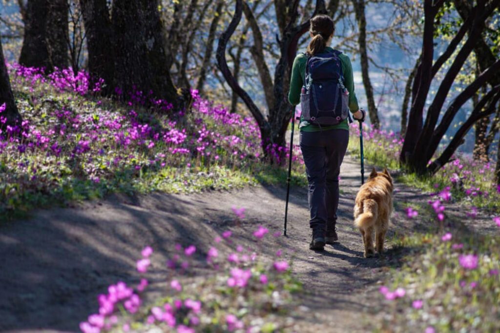
Summer is fast approaching in Grants Pass—and with it come sunny skies, dazzling wildflower displays, sweeping peak views, and towering forests in full bloom. Best of all, those sites are easily accessed from hiking trails around Grants Pass and throughout the surrounding Siskiyou Mountains.
Highlights are numerous but include one-of-a-kind wildflower walks in the Illinois River Valley, gentle strolls through historic seed orchards, and even a thigh-burning ascent to the summit of Mount Elijah—where views extend in every direction and nary a road is in sight.
So as you prepare for summer, we’ve rounded up five favorite scenic hikes around Grants Pass—with the skinny on where to go, what you’ll find along each trail, and what makes each so special.

Eight Dollar Mountain Botanical Wayside
Roughly a half-hour southwest of Grants Pass, the Eight Dollar Mountain Botanical Wayside is home to a short hike and colorful wildflowers in the heart of the Illinois River Valley.
A wheelchair-accessible boardwalk (measuring 0.25-mile round-trip) follows the slopes of Eight Dollar Mountain while showing off blooms that remain colorful until August. Of particular note is the cobra-shaped Darlingtonia californica, a carnivorous plant that traps and feeds on insects; the Illinois River Valley is one of only a few places in Oregon where the rare plant is found. The wayside’s small parking area is limited to three or four vehicles, so consider a weekday trip to give yourself the best shot at grabbing a spot.
If you’re up for another short walk, continue up 8 Dollar Road for a quick hike to Little Falls, a series of rapids coursing through a rocky stretch of the Illinois River; visitors can access the waterfall from the signed Little Falls trailhead just off the road.


Rough and Ready Botanical Wayside
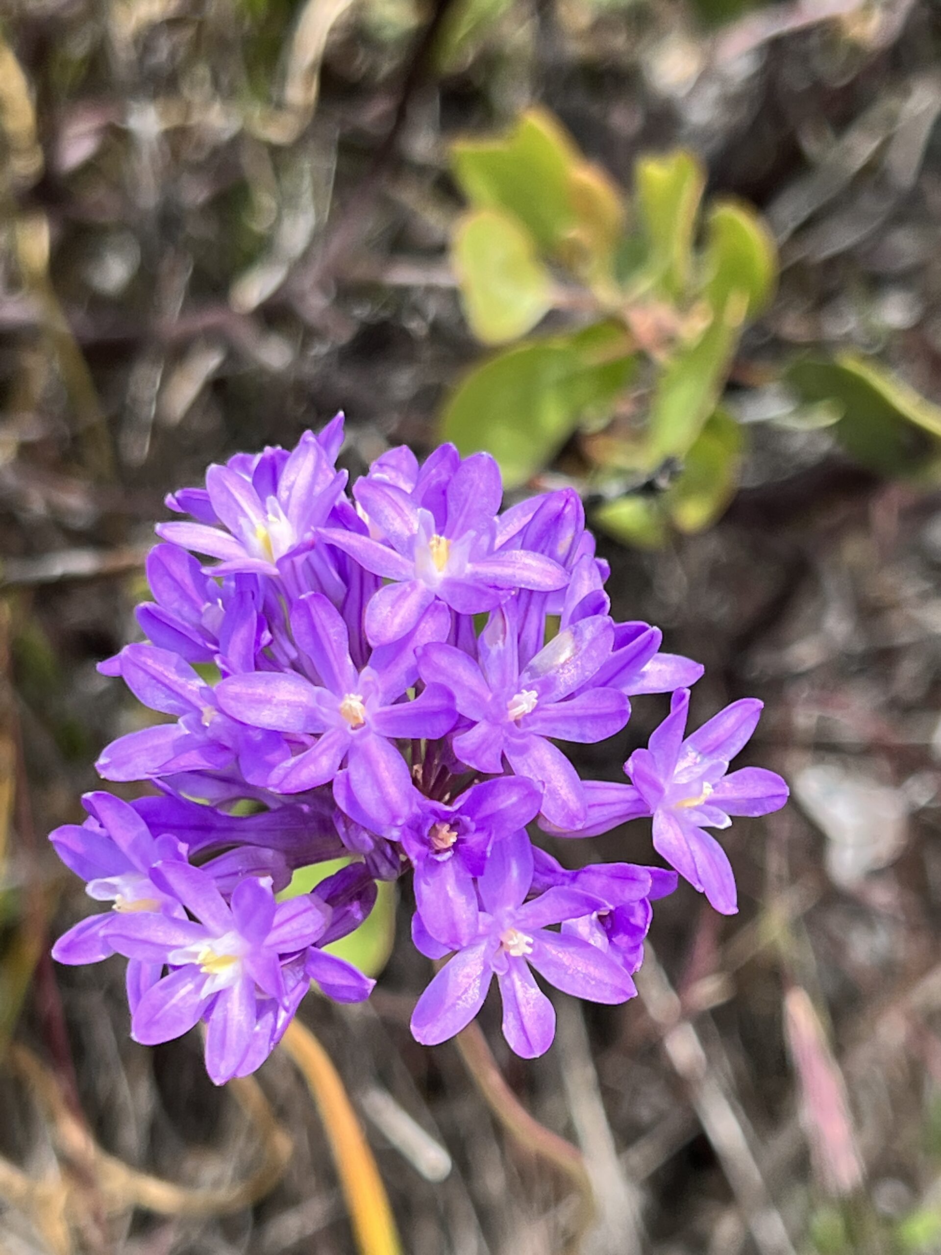
Further south along OR-199, Rough and Ready Botanical Wayside boasts another short, flat walk that’s home to dazzling wildflowers—many of which thrive in the area’s metal-rich soils and almost nowhere else on Earth.
The 0.6-mile (round-trip) walk heads through colorful blooms (which are near their peak in June and July) before arriving at a viewpoint along Rough and Ready Creek. Keep an eye out for yarrow and balsamroot, among other species, along the way. Recent upgrades include a wider trail and a series of hand-carved benches for enjoying sublime views of the surrounding Kalmiopsis Wilderness. The trailhead is only about 15 minutes south of the Eight Dollar Mountain Botanical Wayside, making it an excellent companion hike where both paths afford big payoffs for little effort.
Mount Ashland (via the Pacific Crest Trail)
Mount Ashland—less than 90 minutes south of Grants Pass and the highest peak in the Siskiyou Mountains—is most famous for its bustling ski resort. But in summer, when its slopes clear of snow, Mount Ashland comes alive with some of the most colorful wildflower displays in southern Oregon.
Hikers can experience it all along the Pacific Crest Trail (PCT), which runs east-west just below Mount Ashland’s summit.
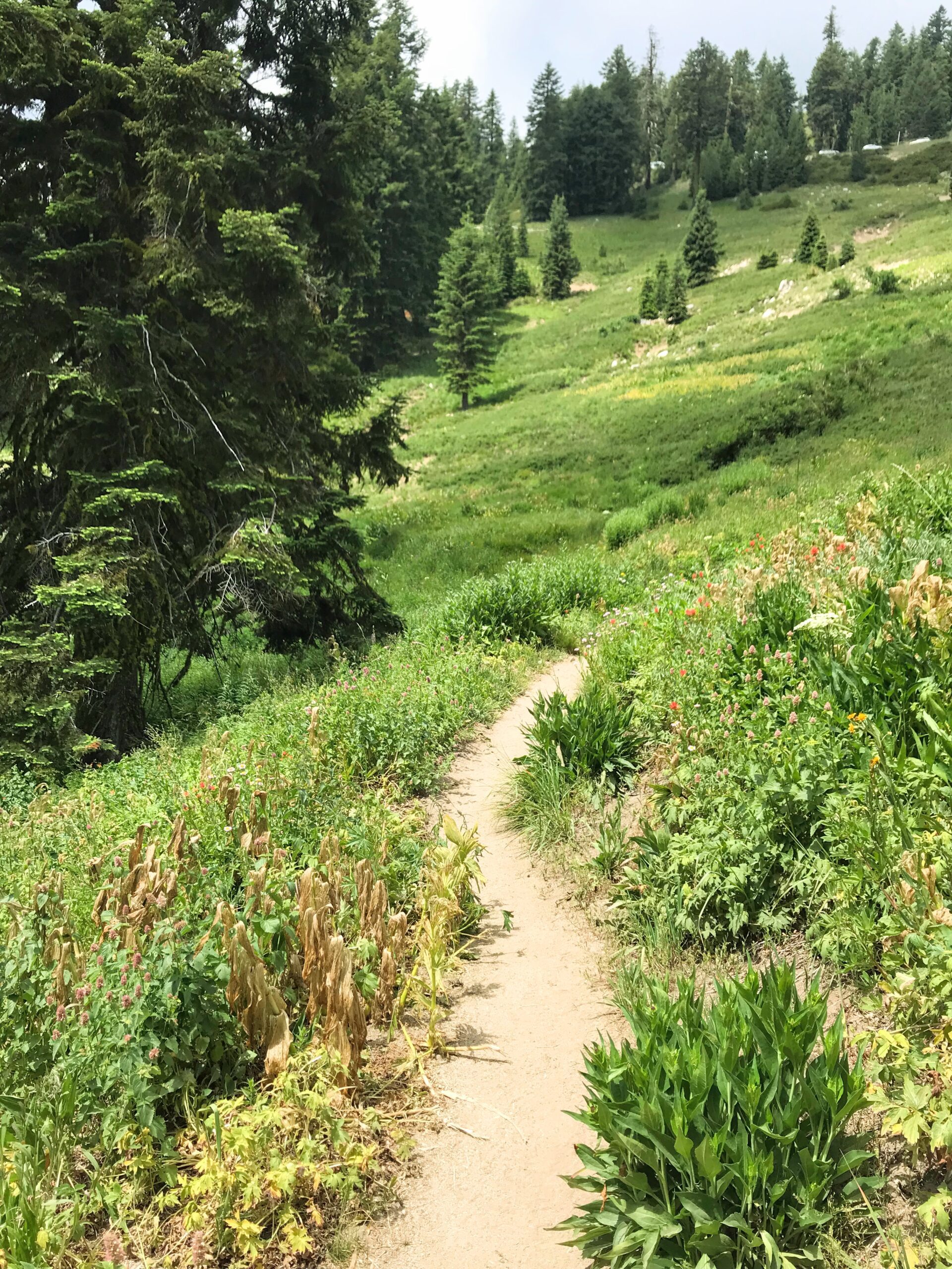
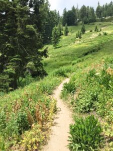
From the trailhead alongside Mount Ashland Ski Road (indicated by a small parking area and PCT marker fastened to a tree), hikers head west through a mix of forests and open meadows that see their first wildflowers by late June and continue to bloom well into July; keep an eye out for yellow Bigelow’s sneezeweed, purple and white Henderson’s horkelia, purple larkspur, and several other beautiful blooms. Hikers pass through a series of scenic meadows, eventually turn left onto Forest Road 40S30, and arrive at this hike’s turnaround point—Grouse Gap Shelter, an open-air structure where views of Mount Shasta and other nearby peaks await.
In all, the 8.1-mile (round-trip) hike gains about 1,050 feet—with most of that coming via gradual ascents. And since it’s an out-and-back trek, hikers can turn around when they’ve had their fill of wildflowers—and if they don’t want to hike all eight miles.
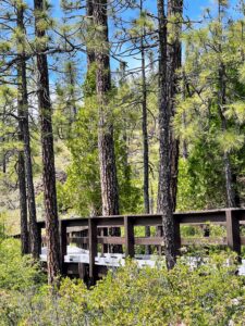
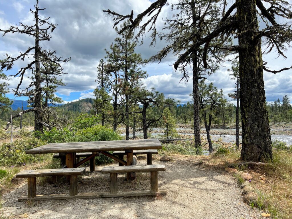
Provolt Recreation Site
Enjoy the great outdoors while getting a glimpse of Oregon’s past at Provolt Recreation Site, which is along the Applegate River and roughly 20 minutes southeast of Grants Pass.
Provolt Recreation Site sits on the site of a former seed orchard and is home to stands of Douglas fir that were once used for wider reforestation efforts. Today, visitors can walk or ride a series of flat multi-use paths (open to hikers, cyclists, and equestrian riders) that show off the growing forest and nearby scenery. Those with a kayak, canoe, or stand-up paddleboard can get on the river from the site, as well.
The park has been open on a limited basis in recent months and may only be accessible on certain hours or days of the week; before heading out, check the Provolt Recreation Site’s official website for all the latest information.
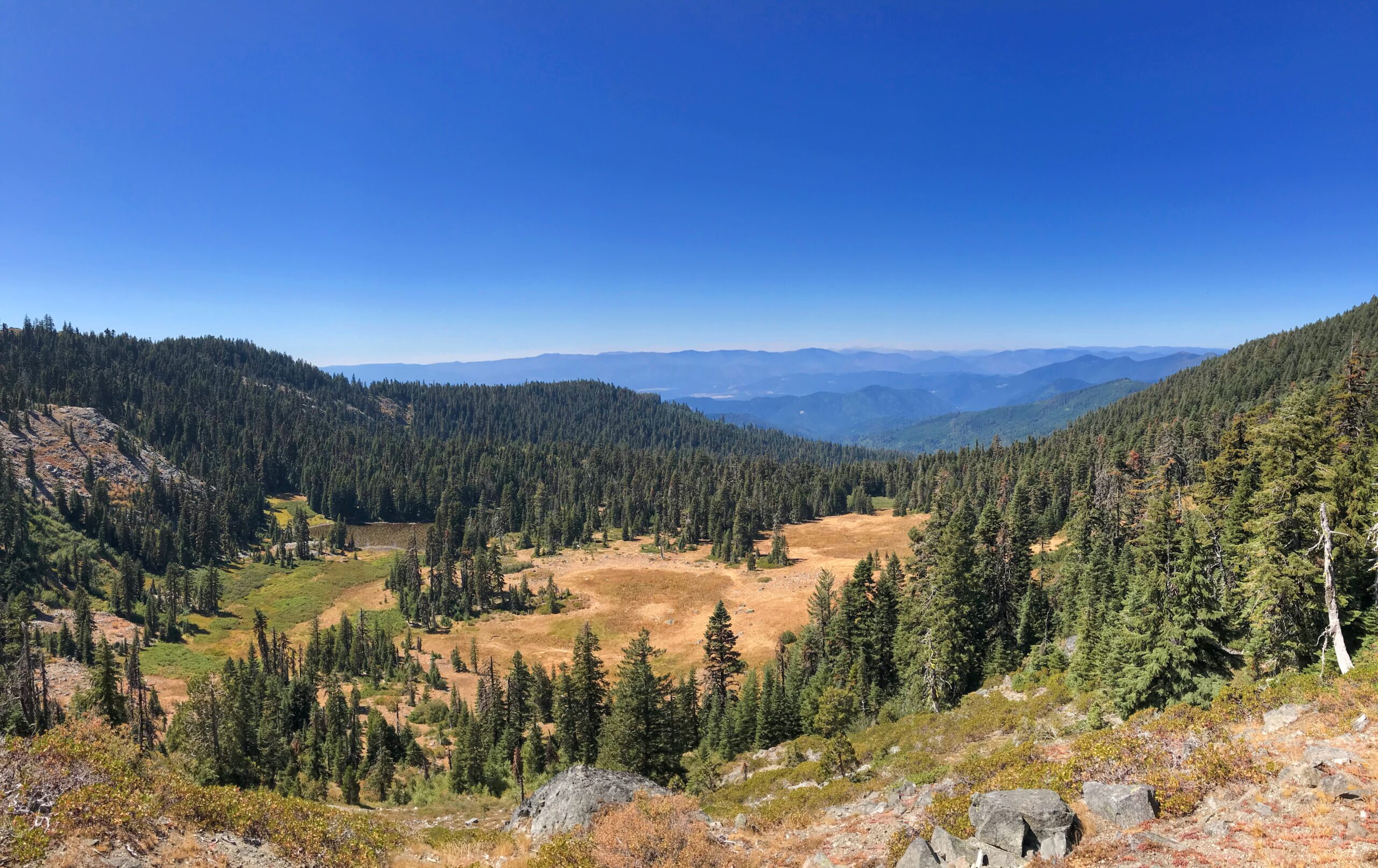
Mount Elijah and Bigelow Lakes
In all, six hiking trails span the Oregon Caves National Monument and Preserve, with some heading into the Siskiyou Mountain forests beyond the monument’s borders.
So while you have plentiful choices for epic summertime hikes, the 5.7-mile Mount Elijah-Bigelow Lakes hike described here—a lollipop loop that gains about 1,025 feet—offers a broad overview of what makes the area so special.
The hike begins at the Mount Elijah-Bigelow Lakes Trailhead, where hikers follow the old, disused Forest Road 070 before turning left onto the Lake Mountain and Bigelow Lakes Trail. The trail ascends through forests and meadows, climbs to the sweeping summit of Mount Elijah, and descends back toward the old Forest Road 070 roadbed—where hikers can turn right to head back to the trailhead.
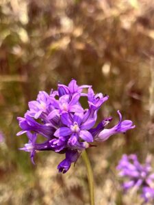
Along the way, highlights include colorful wildflower displays (such as purple fireweed, red and yellow western columbine, and red paintbrush—all of which bloom as early as June) and views of the nearby Kalmiopsis Wilderness, the Illinois River Valley, and the Siskiyou Mountains to the northwest. Before setting out, be sure to ask a park ranger at one of the Oregon Caves visitor centers about trail conditions—and to acquire a trail map to help navigate the various trails in the area.
Finally, a friendly note: You may encounter poison oak, ticks, and rattlesnakes along the trails listed in this article. Wear long pants, and stay on the trail at all times for a more enjoyable hike.