Five Scenic Spring Hikes Around Grants Pass
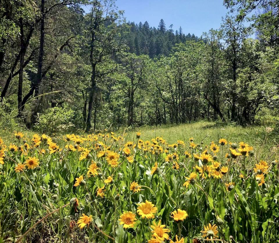


Photo By: Cate Battles, Blog By: Matthew Wastradowski
February 2023
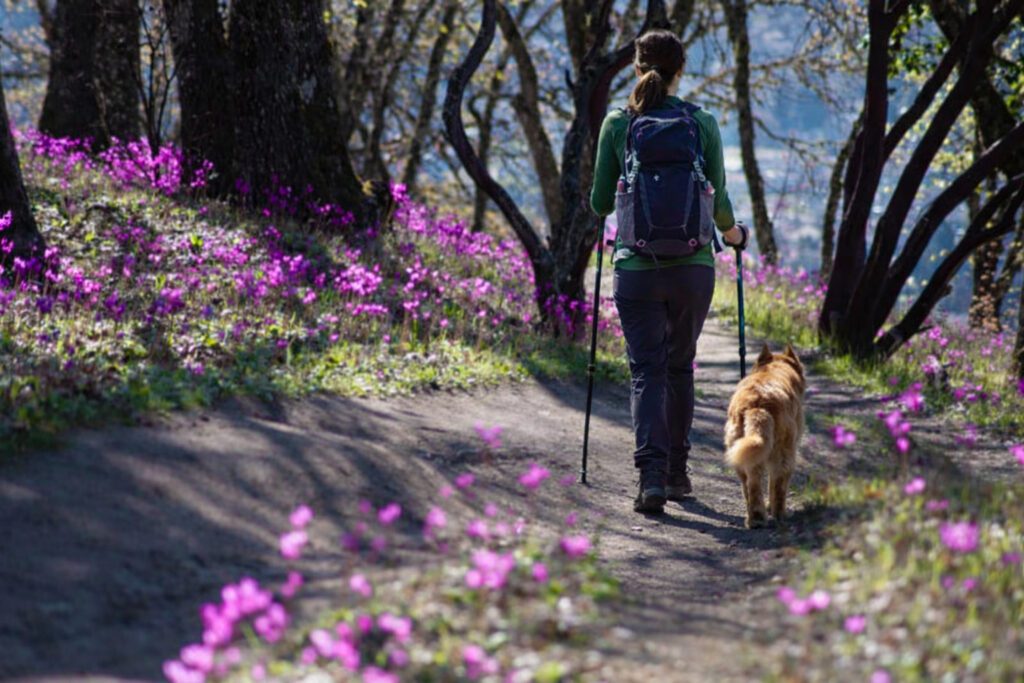
Spring is a magical time to go hiking around Grants Pass. Wildflower season begins as early as late February—and lasts well into June; some of those species you’ll see along local trails, meanwhile, grow in the forests and mountains around Grants Pass—and nowhere else on Earth. And the region’s springtime climate is blissfully mild; any lingering, low-level snow melts by February or March, opening up trails through rain-soaked forests and thirsty meadows for joyful outings on cool, crisp afternoons.
So whether you’re looking for epic views or vibrant wildflowers, we’ve rounded up five scenic spring hikes around Grants Pass.
Note: You may encounter poison oak, ticks, and (by May) rattlesnakes along these trails. Wear long pants, and stay on the trail at all times for a more enjoyable hike.
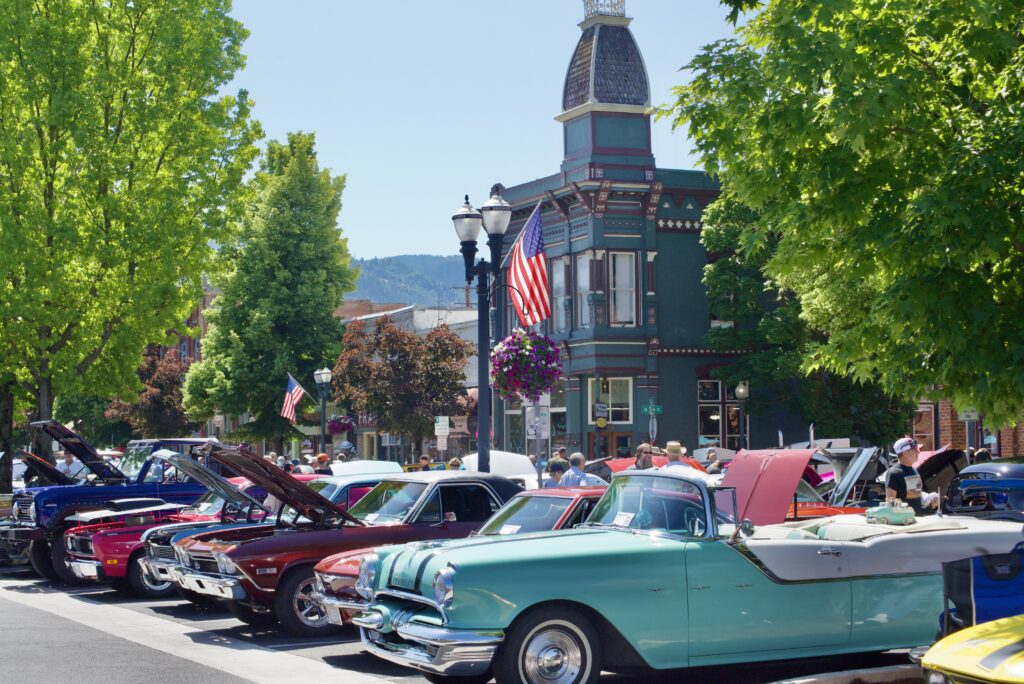
This October marks the 19th anniversary of Art Along the Rogue, Southern Oregon’s beloved street painting and music festival held in downtown’s historic district. Since its initial debut in 2003, this annual event attracts more and more visitors and participating artists every year.
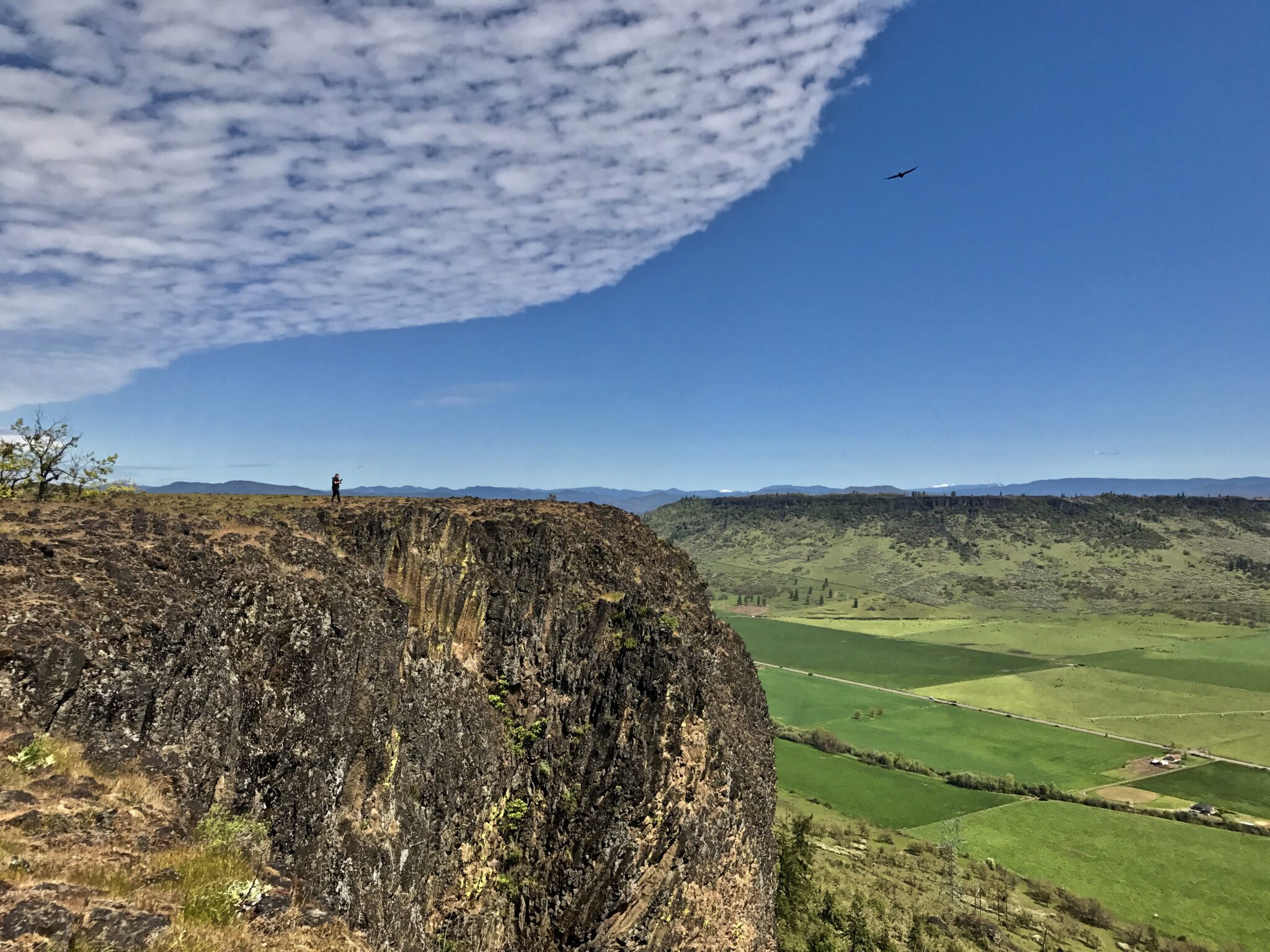
Lower Table Rock
Just a half-hour east of Grants Pass is Table Rocks—a pair of rock formations with pancake-flat summits that attract hikers all year long. Both see little snow, making them popular destinations in early spring, but we’re partial to the trek up Lower Table Rock for a few reasons.
For starters, the five-mile (round-trip) trek gains a gradual 900 feet, ascending through a forest of oak and madrone before leveling out atop the plateau. Soon after, hikers follow a wooden boardwalk across a handful of vernal pools—rain-fed, seasonal wetlands that host several unique species of plant and animal, including the dwarf woolly meadowfoam (a five-petal plant found only on the Table Rocks) and the fairy shrimp, which swims upside down and is federally designated as a threatened species. Elsewhere on the trail, keep an eye out for some of the more than 75 wildflowers that grow atop Table Rocks—including red bells, Southern Oregon buttercup, and shooting stars.
Beyond the wildflowers, 360-degree views include Upper Table Rock, the wider Rogue Valley, Mount McLoughlin, and even the rim of Crater Lake.

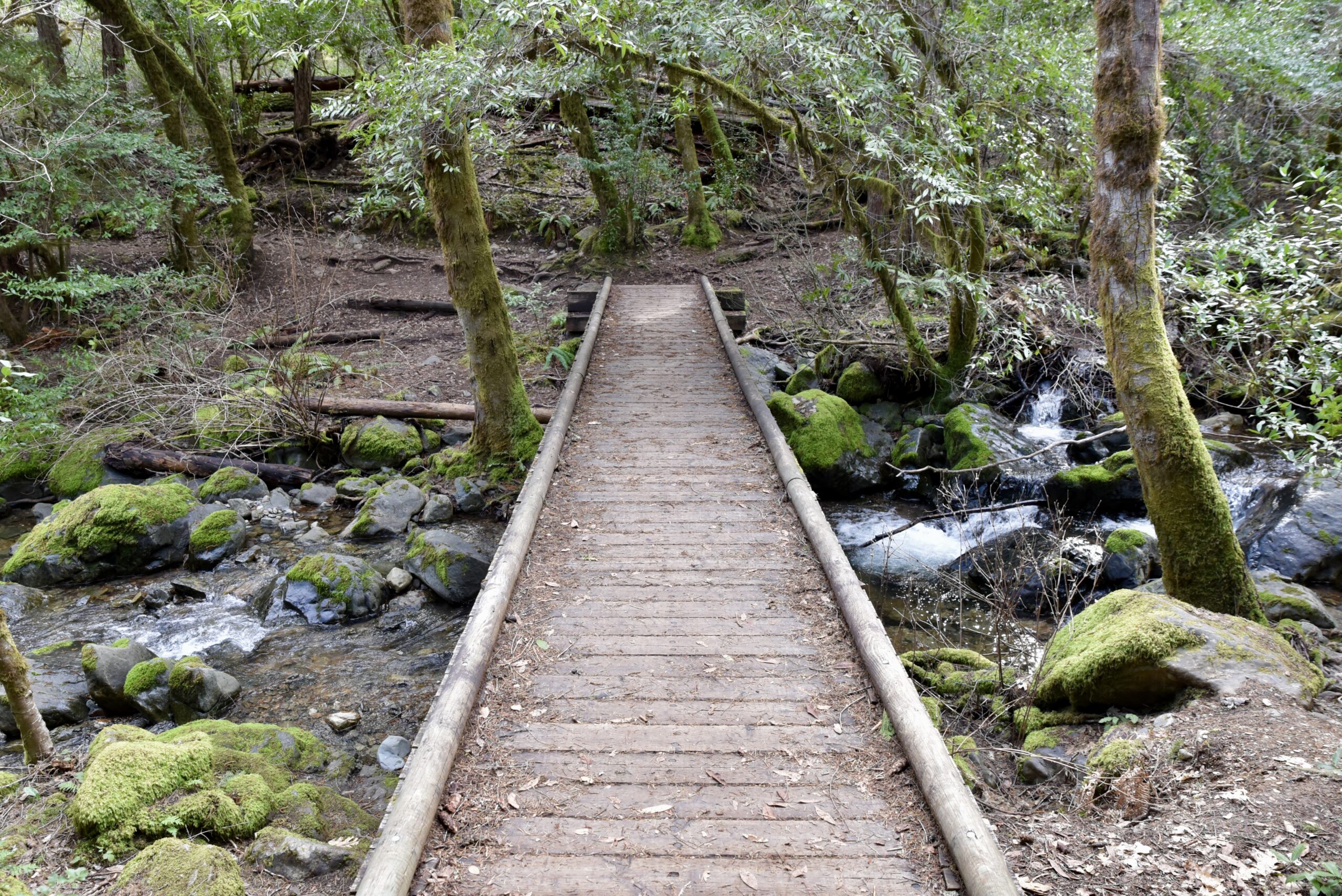
Waters Creek Trail
Less than a half-hour west of Grants Pass, the family-friendly Waters Creek Trail comprises a pair of connected loop trails that head through a conifer forest and offer dramatic views of springtime wildflowers.
The first loop, measuring one mile, is wheelchair-accessible; a second loop, itself about 2.5 miles long, continues from the original loop and is open only to hikers. Taken together, the trails promise about 400 feet of elevation gain. However many miles you put in, you’ll enjoy views of nearby Waters Creek and, in a meadow along the trail, a variety of wildflowers that includes trillium, buttercups, and stalks of purple lupine.
If hiking with children, keep an eye out for poison oak that lines the trail; as the old saying goes: “Leaves of three, let them be.”
Limpy Botanical Interpretive Loop
Looking for a quiet hike that delivers outstanding views without requiring a Herculean effort? Enjoy a quick spring-break getaway to the Limpy Botanical Interpretive Loop Trail, where you’ll enjoy a short waterfall cascading down a mossy rock pile, vibrant wildflower displays, and other highlights over the course of just one easy mile.
The loop gains about 125 feet while heading through a forest of oak and pine, crossing colorful meadows, and occasionally following the banks of Limpy Creek. Wildflowers generally bloom between early April and late May or early June; notable displays include yellow balsamroot, Henderson’s fawn lily, and the three-petaled trillium. Several benches and interpretive panels line the trail if you need to catch your breath.

Cathedral Hills Trail System
It’s easy to see why the Cathedral Hills Trail System—just a quick, 10-minute drive south of downtown Grants Pass—is one of the area’s most popular outdoor destinations.
The 10-mile trail system boasts an interconnected network of paths for hikers, mountain bikers, and horseback riders—all accessible from a trio of trailheads. (Don’t worry: Maps are available online and make it easy to navigate the interconnected trails.) The various paths head through forests of pine, manzanita, and Douglas fir while occasionally offering impressive views of the Rogue Valley and surrounding peaks.
Cathedral Hills is popular all year long, but snow-free trails and abundant wildflower displays make spring an especially fruitful time to visit. Watch for (among other species) the purple and yellow blooms of the fawn lily, circular yellow buttercup blooms, and violet cluster lilies.

Enchanted Forest-Felton Trail
A wide variety of landscapes and ecosystems reside along the Enchanted Forest-Felton Trail—which is actually a pair of connected out-and-back trails that are less than 25 minutes south of Grants Pass. (The paths, open to hikers, mountain bikers, and horseback riders, form a “T” shape.)
The moderately difficult Enchanted Forest Trail measures about 1.7 miles (one way), while the more difficult Felton Memorial Trail is about 1.5 miles long (one way); in all, the trails measure about 6.4 miles round-trip while passing through forests of big-leaf maple, creekside riparian zones, and wide-open meadows. Ferns and moss-covered trees line much of the trails; in spring, they’re joined by colorful wildflowers that include red paintbrush, purple bachelor’s button, and purple and white bindweed.
After your hike, consider a stop at one of the handful of wineries you passed on your way to the trailhead; Wooldridge Creek Winery, Schultz Wines, and Walport Family Cellars all host tasting rooms with outdoor seating that showcases views of nearby vineyards, forests, and the wider Applegate Valley.